Water Ecology Tool
Water Ecology Tool (WET) is an online tool where we share information from our regular water monitoring programmes.
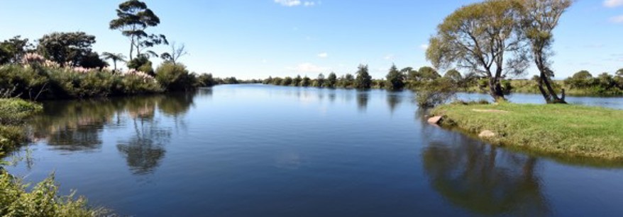
We monitor water quality and ecology at more than 270 sites every month, checking a range of indicators to help us understand how healthy the local waterbodies are. This includes rivers, lakes, groundwater (aquifers) and estuaries.
Why do we monitor?
By capturing and interpreting this data, our scientists are able to evaluate the state of waterbodies, identify problem areas and assess trends over time.
This information is then used to help inform decisions as to how Bay of Plenty Regional Council manages and maintains these waterbodies for long-term environmental, economic, social and cultural sustainability.
In particular, this information is helping support the preparation of proposed changes to our Regional Policy Statement and Regional Natural Resources Plan that must be notified by the end of 2024 to enable us to deliver central Government's direction for freshwater management (set out in the National Policy Statement Freshwater Management 2020).
To keep up to date with all things fresh water, sign up to our Freshwater Flash e-newsletter.
What information can you find in the WET?
Information from our monitoring programmes, including:
- River and lakes water quality (testing for a range of physical, chemical and microbiological attributes that give us a holistic picture of overall water quality)
- Bathing season quality (samples taken from popular swim spots, which are checked for faecal bacteria (coli))
- Cyanobacteria (blue-green algae, which can create algae blooms and become toxic to humans and animals).
- Groundwater (testing for nitrates, to detect increases that may impact human health and the environment)
- River estuaries (testing for a range of physical, chemical and microbiological attributes that give us a holistic picture of overall water quality).
This data can be viewed by:
- Draft Freshwater management Unit (FMU) - an area that’s been defined to best manage fresh water, and can include catchments, part of catchments or several catchments.
- Rohe - Iwi boundaries in the Bay of Plenty.