We cannot manage what we don’t measure so we need accurate, complete and current water information to establish how much water is being used across the region. Water meters are the most effective way to monitor water use and if you’re using more than 5 litres per second, they are a Ministry for the Environment requirement. They can detect small leaks and losses and are an effective way to track seasonal and annual consumption.
Water take
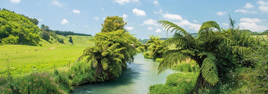
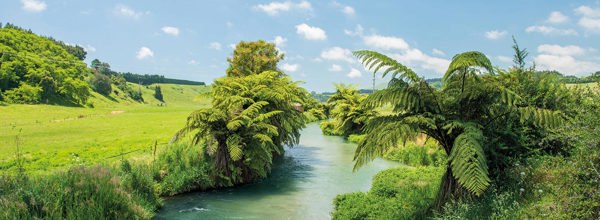
As our economy continues to grow, so too does the pressure on this region’s natural resources.
This is especially the case with water, as an increasing number of people take freshwater from the ground and our rivers, lakes and streams to live or help to run their businesses. In some parts of the Bay of Plenty too much water is being taken.
The Regional Natural Resources Plan promotes the sustainable and integrated management of land and water resources within the Bay of Plenty. This Plan gets updated as we get a better understanding on the health of these resources.
Based on the current rules, a permitted take for surface water is anything under 15m3 (15,000L) per day. For ground water it’s up to 35m3 (35,000L) per day. If your water take is more than these thresholds you need to apply for a consent. In addition, if your water take is within 100 metres of a natural wetland, you will need a consent regardless of the volume.
Water take consents
Resource consents help to ensure that our natural and physical resources are allocated and used efficiently and sustainably. In the Bay of Plenty we currently have more than 1300 consents to take and use water from ground and surface water sources, but we know there are many more users out there.
So we can all get an accurate understanding of how much water is available we need to know how much water is being taken from all users.
- Log into WUDMS (Water Use Data Management System)
Frequently asked questions
How do I know how much water I’m using?
What are the metering requirements?
If daily recording and reporting is required – installation of telemetry is the most practical way to meet this. You can do this yourself or through a third party provider.
2020 amendments to the national Resource Management (Measurement and Reporting of Water Takes) Regulations 2010, require that daily water use data must be submitted electronically:
- for all takes >20L/s by 3 September 2022
- for all takes of 10-20L/s by 3 September 2024
- for all takes of 5-10L/sec by 3 September 2026.
For consents where monthly recording and reporting is required in the meantime, consent holders will need to enter their water use data in to Bay of Plenty Regional Council Water Users Data Management System (WUDMS).
Anything above the permitted take thresholds for ground and/or surface water will need a resource consent. Other scenarios that require resource consent include:
- Prior to drilling a new bore.
- For surface water takes (stream/river) taking at a rate of 2.5 litres or more.
- In conjunction with other abstractors, taking more water than what the instream minimum flow requirement requires.
- Takes within 100 meters of a wetland.
The basic rule of thumb is any orchard over 1 hectare that is irrigating could easily exceed the above permitted volumes and those employing frost protection will definitely have the potential to use a lot more water within 24 hours than the permitted volumes. Dairy shed wash-down water may also require a water take consent.
The resource consent process starts with the applicant preparing their application according to the application form for that activity. There are specific forms for specific activities and we have summarised the main application forms relating to water take below.
It’s important that prior to submitting your application you understand what is required, have checked the relevant rules and plans and consulted those who could be affected by the activity, including tāngata whenua. The application forms will guide you through this but remember our Consents team are here to help too. Contact the Duty Consents Officer for help on 0800 884 880.
How much water has been allocated already?
Check out our groundwater allocation map tool. Please note information presented in this map tool is for the purpose of general guidance only.
More information
- Assessment of cultural effects
- Costs associated with preparing an assessment of cultural effects
- Irrigation NZ
- Methodology - constant discharge pump testing
- Water take policy assessment form
- Ministry of Healthy advice on accessing household water from a bore or well
- Consultants: Pump Testing & Analysis
More information